Fort McMurray wildfire expands, lower winds, temperatures expected to bring some relief
Posted May 15, 2024 11:57 am.
Last Updated May 15, 2024 2:14 pm.
Alberta Premier Danielle Smith says her heart goes out to Fort McMurray residents forced a second time in eight years to flee a wildfire, but public safety is paramount.
“I know that this will bring back difficult memories from the devastating fires of 2016,” Smith said Wednesday at a fire information update in Edmonton.
“And I’m sure these memories will create fear and uncertainty for many in Fort McMurray.
“My sympathy is with everyone facing this situation, but safety must remain our top priority. Our government will have Alberta’s back whenever a disaster strikes.”
Forestry and Parks Minister Todd Loewen says bans on fires and off-road vehicles will be in place for the area as of 2 p.m. Wednesday.
The fire near Fort McMurray is now consuming 20,940 hectares, having grown significantly to the northeast Tuesday due to strong, gusty winds, according to Alberta Wildfire information unit manager Christie Tucker. It is considered out of control.
She adds there are 117 firefighters and 14 helicopters currently assigned to the wildfire.
Tucker says two night vision helicopters also worked overnight to drop water on the fire’s active edges and firefighters patrolled from the highway to monitor fire activity.
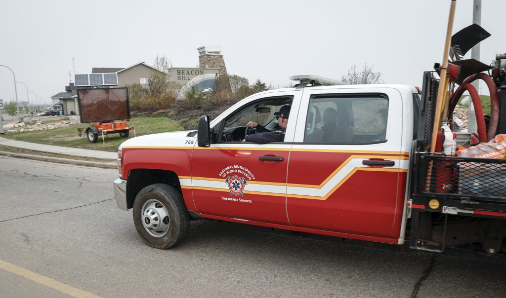
Areas currently under evacuation orders in the Regional Municipality Wood Buffalo are the communities of Prairie Creek, Beacon Hill, Abasand, and Grayling Terrace. These evacuations are affecting more than 6,000 people.
The municipality says the order could be extended beyond May 21, but residents are encouraged to plan to be away until at least date, adding it will not be safe to return until the order is lifted.
The rest of Fort McMurray, Saprae Creek, Gregoire Lake Estates, Fort McMurray 468 First Nation and Anzac remains under an evacuation alert and are being asked to be ready to leave.
As of 8 a.m. Wednesday, the closest point of the fire is about 5.5 kilometres from the Fort McMurray landfill and 4.5 kilometres from the intersection of highways 63 and 881.
Northwest winds of 10 km/h are expected Wednesday, which should push the fire away from Fort McMurray and Highway 63. Cooler temperatures are also expected.
In 2016, a massive fire, nicknamed The Beast, forced 80,000 in Fort McMurray and the surrounding area to flee. It destroyed more than 2,000 homes.
On Tuesday night, Jody Butz, the fire chief for the Fort McMurray region, said: “I know this is an extremely stressful situation, but I want to assure everyone that this fire activity is very different from that of 2016 Horse River wildfire.”
That fire roared through spruce trees and destroyed much of the oilsands community. The recovery took years.
But, he said, this year’s fire is different. It’s burning along the surface of the ground, through the aftermath of the former blaze, and has much less fuel. Burning muskeg is generating the smoke.
“We are way better positioned now,” Butz said.
The Kleskun Creek Fire in the County of Grande Prairie is also classified as out of control at 1,382 hectares. It is four kilometres east of the town of Teepee Creek, according to Alberta Wildfire.
The government has promised money for those displaced by fire evacuations — $1,250 per adult and $600 per child after they are out of their homes for seven days.
To stay-up-to-date on the latest fire conditions and restrictions in Alberta, visit alberta.ca/alberta-wildfire.