Calgary’s flood risk down following Springbank Off-Stream Reservoir completion
Posted May 27, 2025 10:24 am.
Last Updated May 27, 2025 7:25 pm.
Alberta’s government says Calgary is now better protected from floods thanks to recent provincial projects.
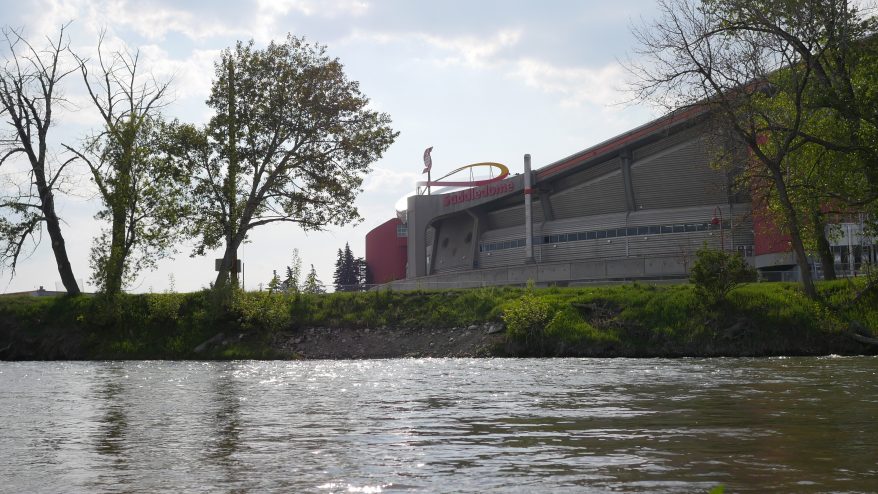
New flood maps released by the government show the flood hazard area around the Elbow River has been significantly decreased following the completion of the Springbank Off-Stream Reservoir.

It adds, flood maps play a “critical” role in helping communities in Alberta prepare for flooding and respond more effectively when it does happen by guiding land-use planning, supporting emergency preparedness, and protecting people, property, and infrastructure.
“The new Bow and Elbow River flood maps are very important for Calgary. Since 2013, understanding of our rivers has grown and a range of resilience measures have been put in place, which substantially lowers risk in many of our communities,” said Frank Frigo, manager, environmental management, climate and environment, The City of Calgary. “It’s critical, while facing housing and affordability concerns, that the best, up-to-date flood hazard information is available, so we can keep building an informed, flood-resilient Calgary.
“We gratefully acknowledge the expertise and collaboration of the province in the updated river modelling and mapping.”
The new Springbank Off-Stream Reservoir will capture excess water should it push the Elbow to dangerous levels, according to the province. High water levels will also be further reduced by the Glenmore Dam, should that issue arise.
Furthermore, the province says the relocated Ghost Dam project continues to advance on the Bow River, and it has launched a five-year $125-million Drought and Flood Protection Program.
Fort McMurray, and multiple communities along the Highwood, Red Deer, and Sheep Rivers have also been subject to new flood mapping by the province.
The province says it has released new or updated flood mapping spanning more than 1,600 kilometres since 2020, and has plans to create at least 3,000 kilometres of new or updated flood mapping by 2028.