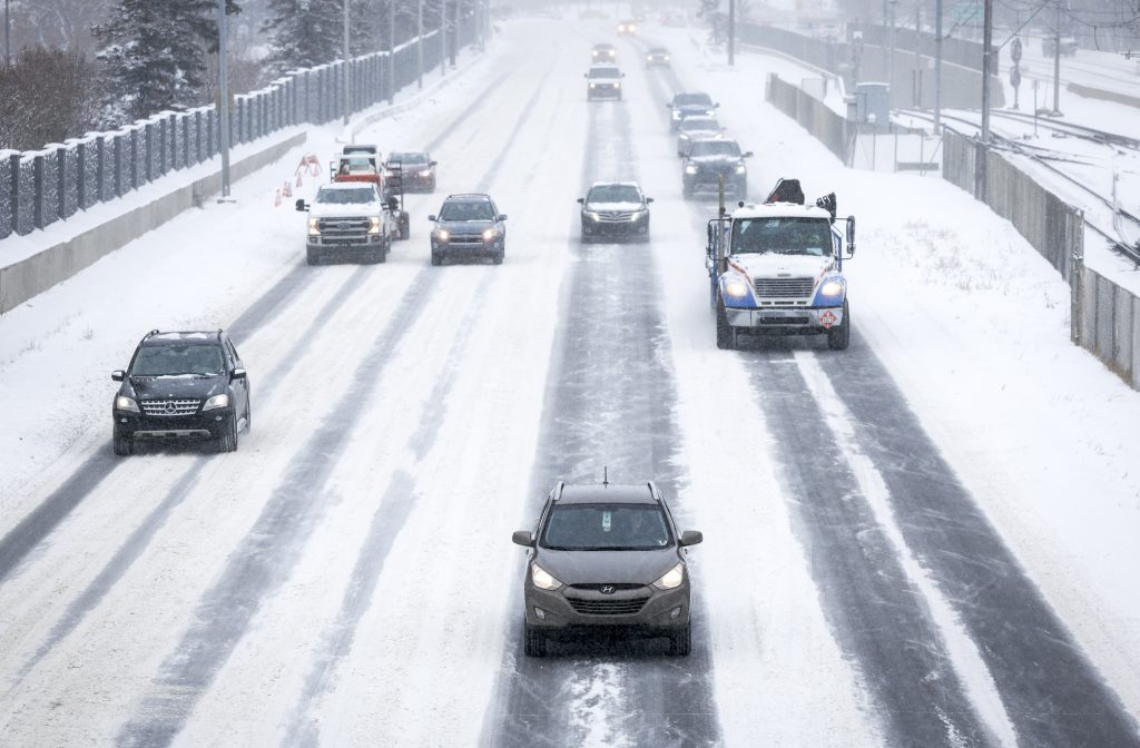
Gusting winds in Calgary continue as special weather statement ends
Posted Apr 23, 2026 9:08 am.
Last Updated Apr 24, 2026 6:47 am.
A special weather statement issued for Calgary Thursday, warning of heavy bands of snow beginning through to Saturday morning, has ended.
However, winds continue to gust in the city Friday morning.
Environment and Climate Change Canada says the wind is blowing at 60 km/h gusting to 80 km/h, causing a low of -13 C and a high of 0 C during the day.
Periods of snow amounting to two to four centimetres is still possible.
Periods of snow could continue on Saturday, ECCC says, as temperatures are set to hover between -3 C and -9 C.
Sunday will be cloudy with a high of -2 C and a low of -7 C and a 60 per cent chance of flurries.
These temperatures are a far cry from the heat Calgarians got for the first three days of the week — Monday and Tuesday soared to 22 C and Wednesday was 15 C.
The weather agency says it will begin to warm up again for the start of the work week. Monday has a forecasted high of 4 C.
Tuesday, and Wednesday are set to hit 10 C.
According to ECCC, the normal high for this time of year is 13 C, while the low is 0 C.