Snowfall warning ends for Calgary with weekend warmup on the way
Posted Apr 16, 2026 6:30 am.
Last Updated Apr 16, 2026 6:21 pm.
Calgary’s snowfall warning has officially ended, but hazardous winter weather continues to impact communities east of the city.
Environment Canada still has a snowfall warning for out for areas to the east with snow drifts as deep as 60 to 70 centimetres reported places like Gleichen and Strathmore.
RCMP south of Calgary have closed a section of Highway 2 near High River due to a multi‑vehicle pileup, while officers north of the city say numerous vehicles have slid into the ditch between Calgary and Airdrie.
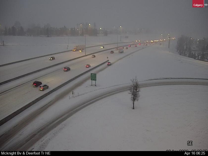
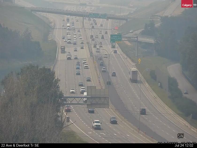
The spring storm made its biggest impact in Calgary on Wedneasday night and during the Thursday morning commute. Police began responding to multiple crashes in all quadrants in the evening, including a multi-vehicle pileup that led to closures on both northbound and southbound Deerfoot Trail SE for several hours.
660 NewsRadio meteorologist Kevin Stanfield says the city saw a wide range of snowfall amounts.
“In the northwest corridor of the city reports came in between 19 to 25 centimetres, whereas in the southeast it was closer to 10 or 11 centimetres,” he says.
Stanfield adds that blowing snow will continue through the afternoon, reducing visibility and making travel difficult even as the storm tapers off.
Weekend warmup ahead
As Calgary digs itself out of the latest spring storm, temperatures are expected to rise heading into the weekend and next week.
Environment Canada forecast a high of 5 C for Friday with a chance of flurries in the morning, and a chance of rain or flurries late in the afternoon.
From there, it should start to feel more like spring with a high of 9 C expected Saturday and a high of 14 C on Sunday.
Things will warm up even more heading into next week, with a high around 15 C expected on Monday and temperatures expected to surpass 20 C on Tuesday.
Tune into CityNews 24/7 for the latest in breaking news, traffic, and weather